We capture high-resolution aerial photos and transform them into maps and 3D models of properties. Leverage the latest in mapping technology for cost-effective insights: no longer rely on outdated satellite photos and expensive property surveys.
Save time and money by relying on a comprehensive solution for mapping. Make confident decisions with reliable and up-to-date inspections. Get snapshots of your property faster than ever before.
Our IndustriesPerform virtual inspections, extract elevation data, and measure distances with accurate orthographic maps. Utilize contour maps and 3D point clouds for planning and evaluation.
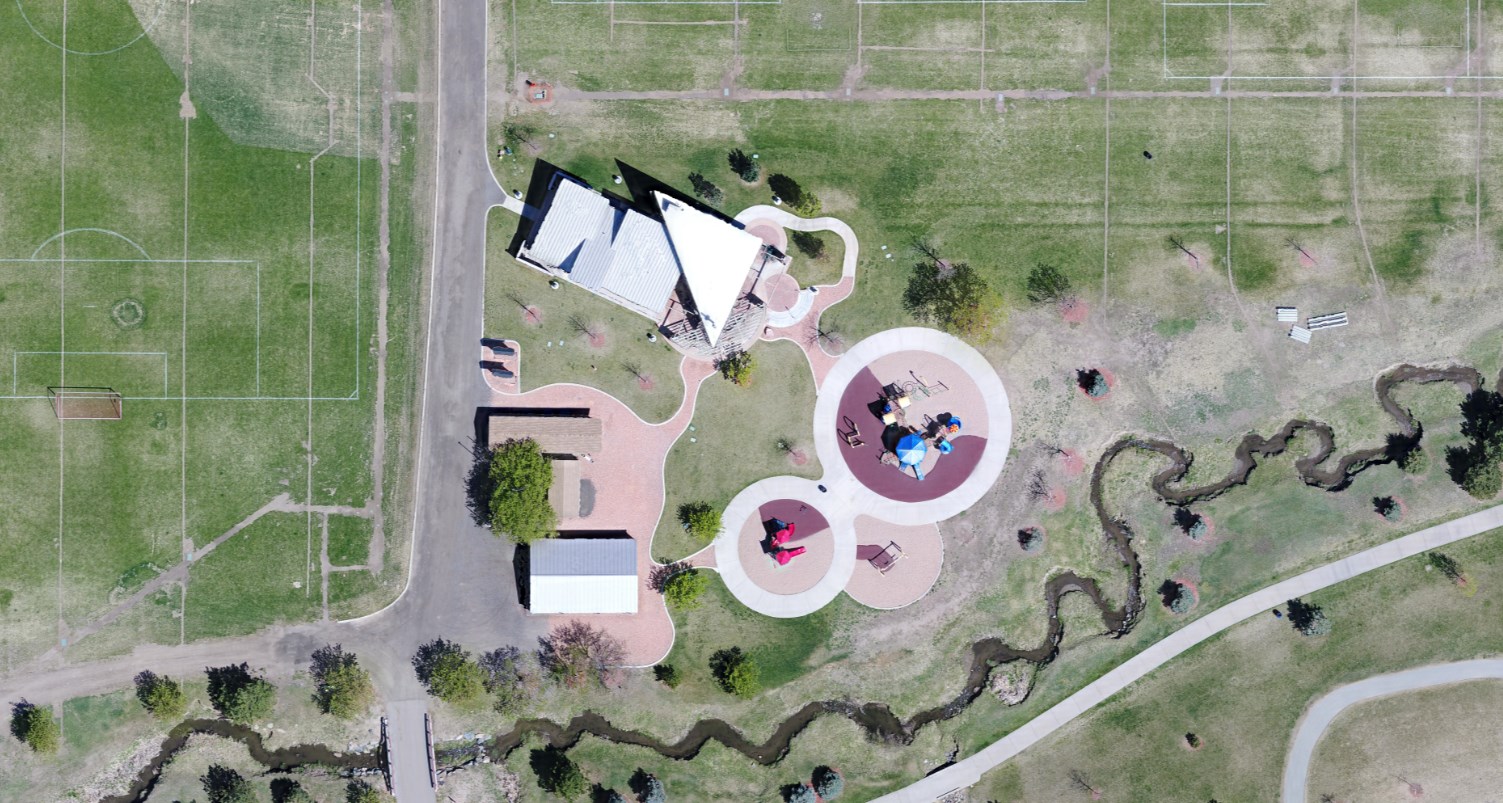
We make it as easy as possible to take advantage of cutting-edge technologies at an affordable price. Use drone maps to win clients, better collaborate with team members, and efficiently work with contractors.
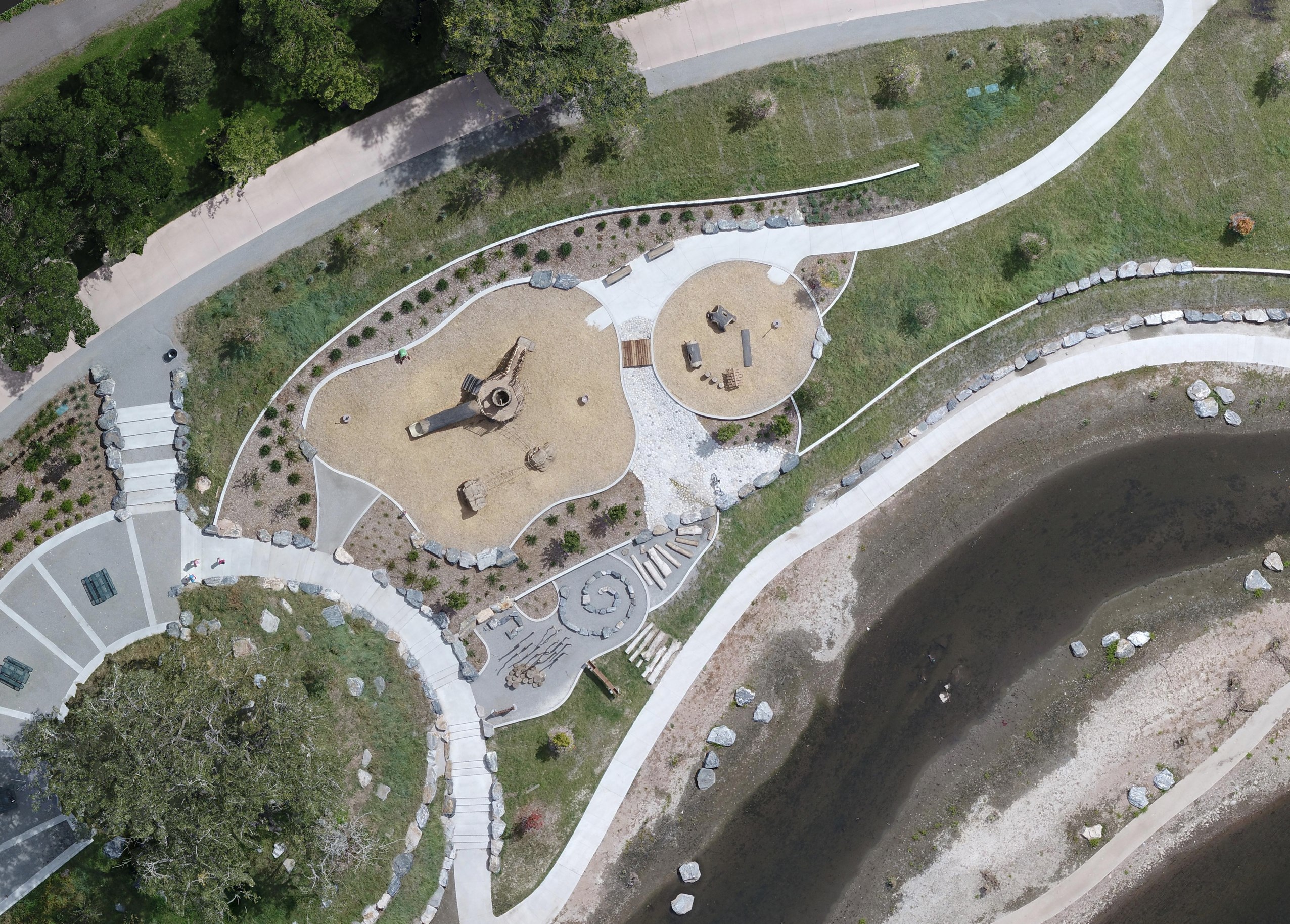
From image capture to file delivery, we take care of it all. Get accurate maps at the press of a button, and get weekly, monthly, or quarterly updates of your area of interest.
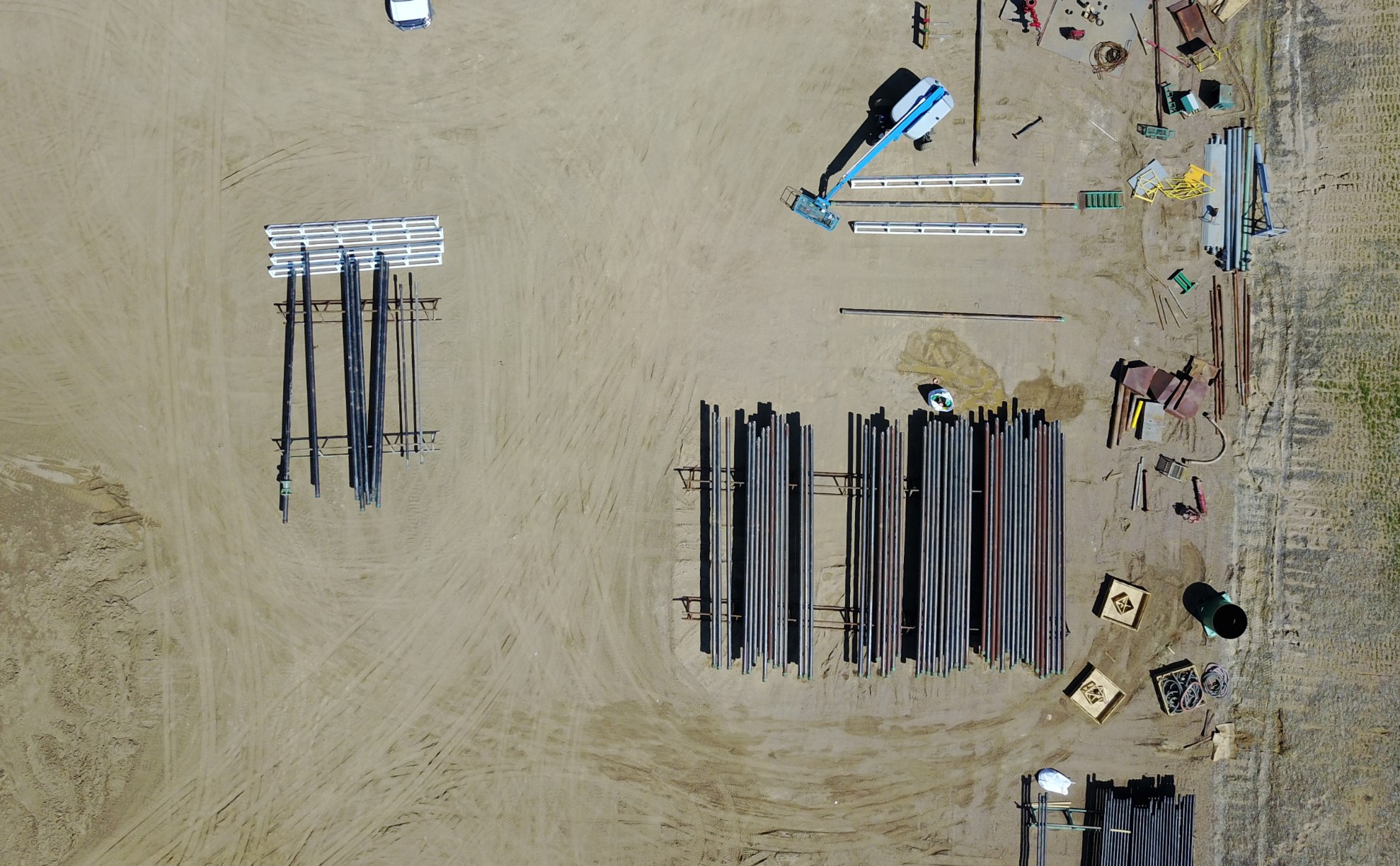
FlatDroneMaps uses state of the art hardware and software to give our clients a comprehensive solution for aerial analytics. Garner sophisticated results and insights from our deliverables.
With each map, export 2D orthomosaics, algorithmically enhanced 3D point clouds, photorealistic 3D meshes, topographical contour maps, and more. Load your files into third-party CAD software or use our web-based application for measurement and analysis.
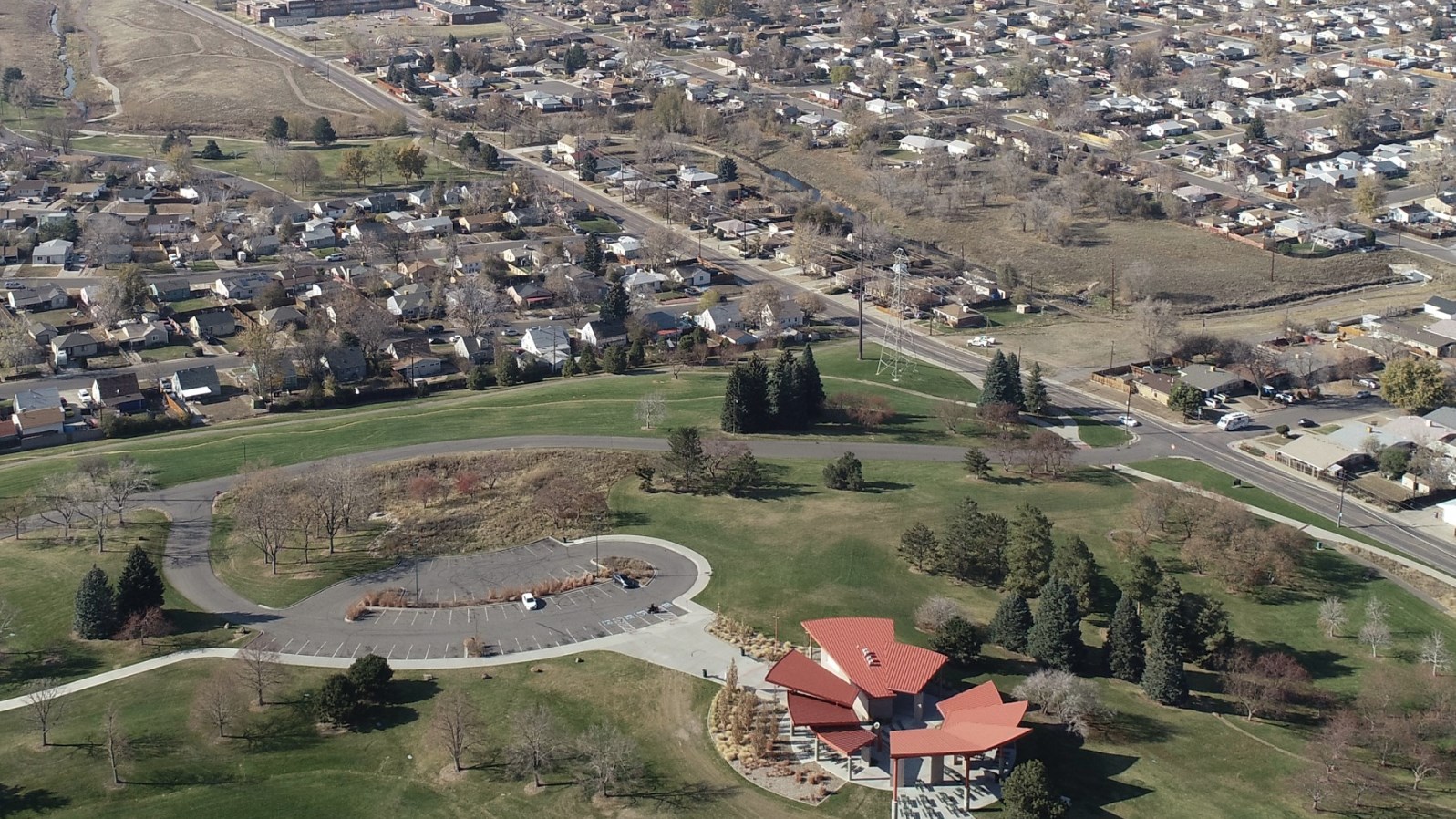
We put your needs first. If we don't meet expectations, we'll provide you with a brand new map in under 24 hours.
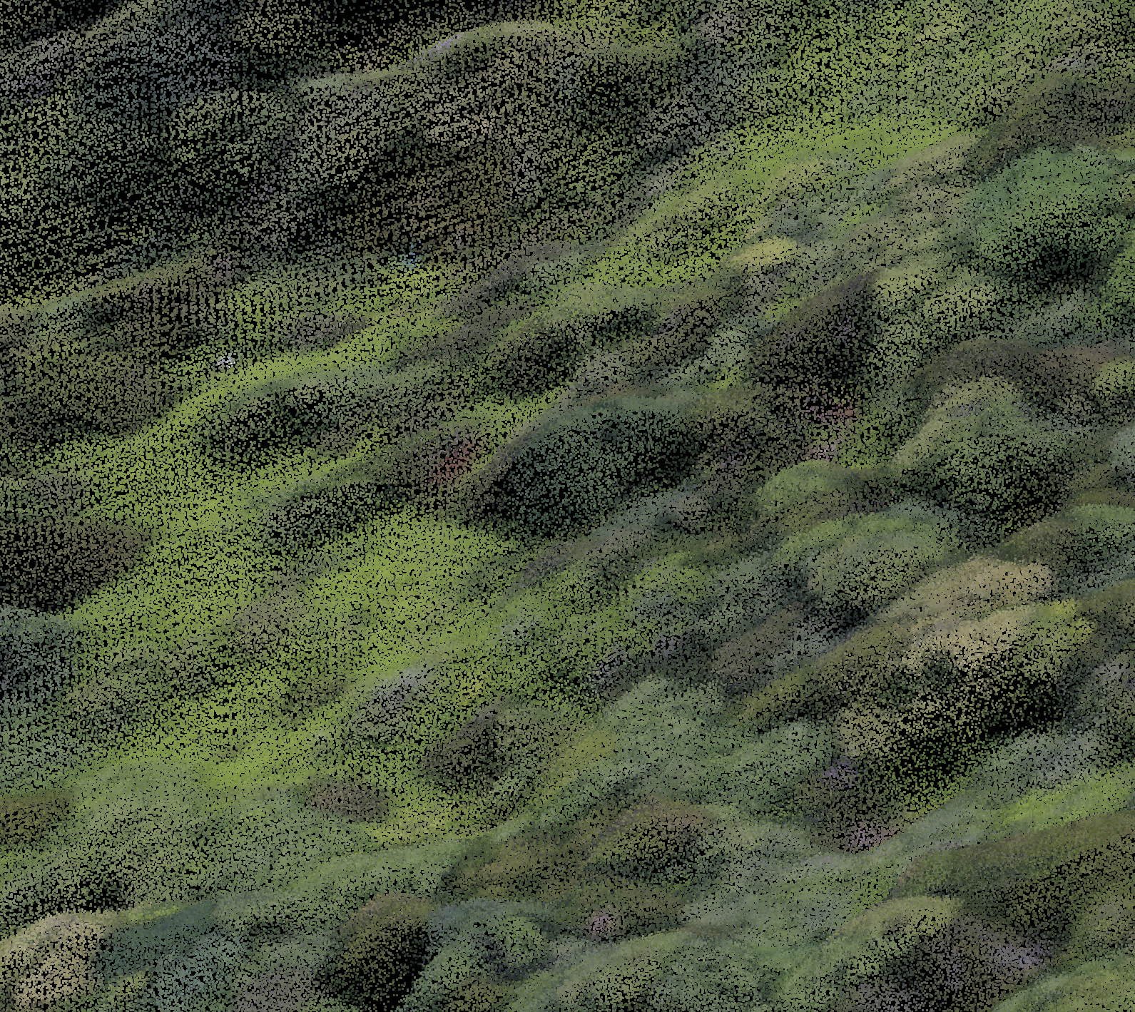
We use GPS ground control points for applications that demand precision.
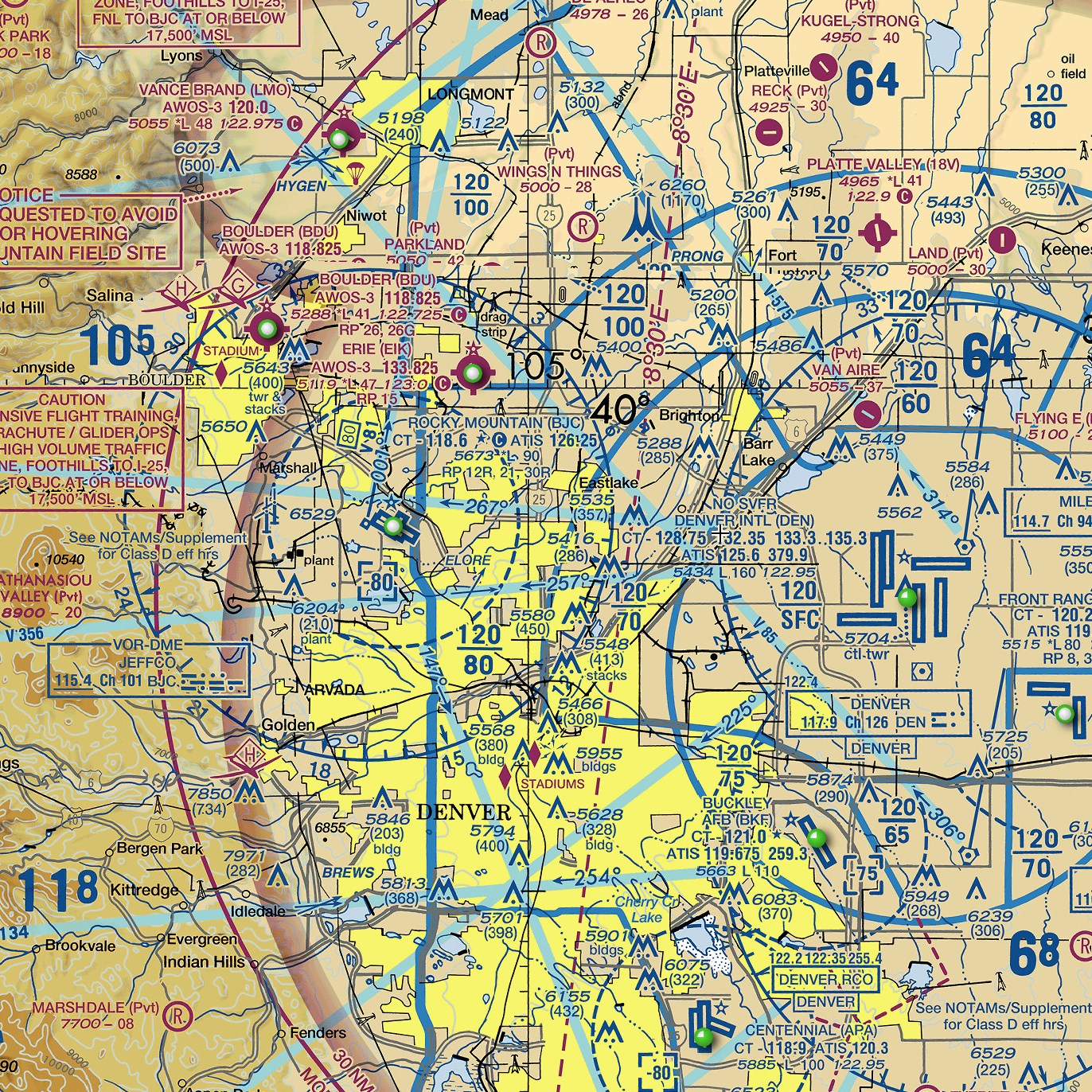
All of our pilots are FAA certified small UAS airmen. With every flight, we follow a rigorous safety protocol that ensures the safety of your property.
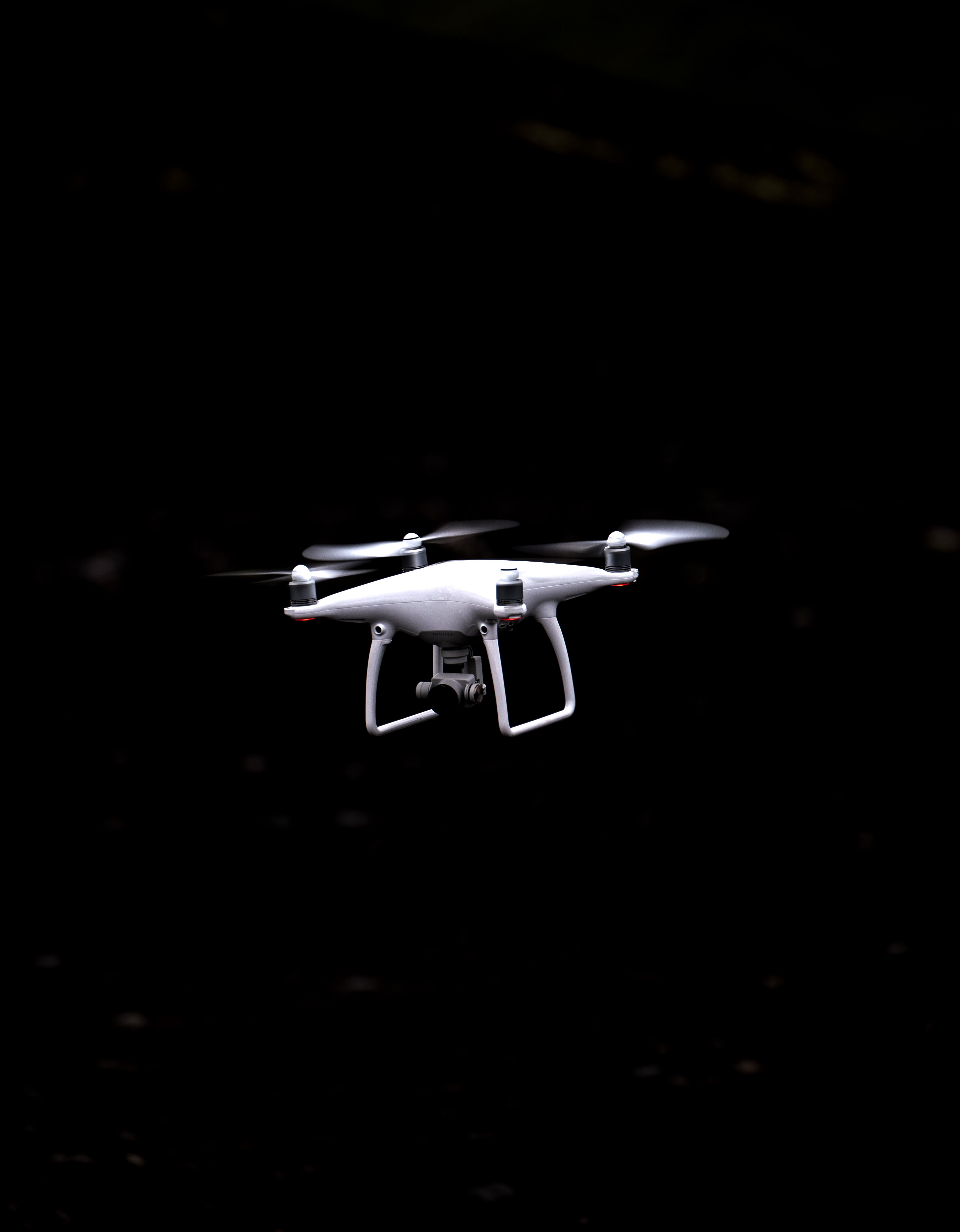
Unexpected events can and do happen. That's why we're insured with $1 million of protection for every flight and every client.