Industries
Our Process
FAQ
Contact
Talk With Us
Industry Applications
learn how companies use flatdronemaps
Aerial intelligence applications
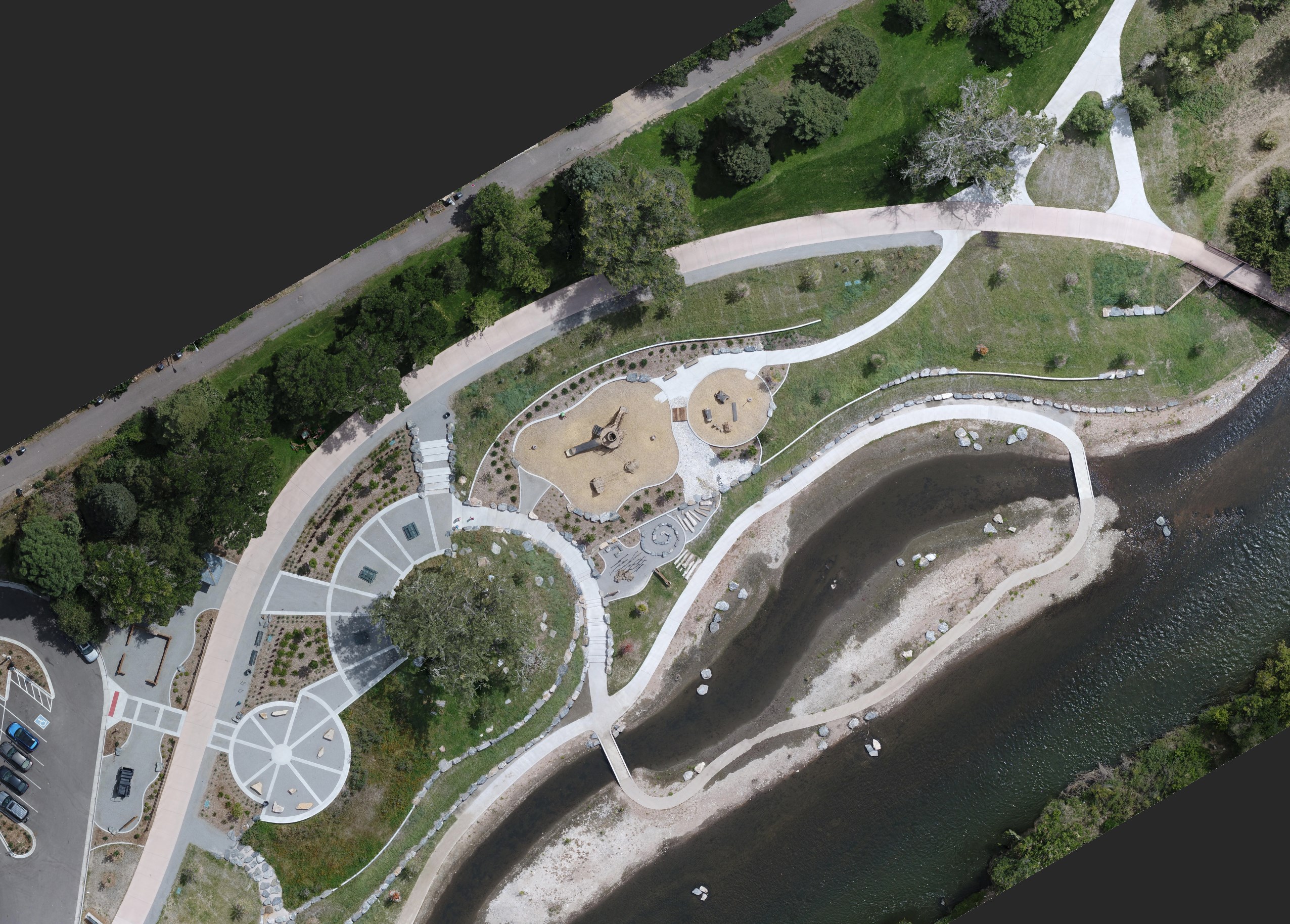
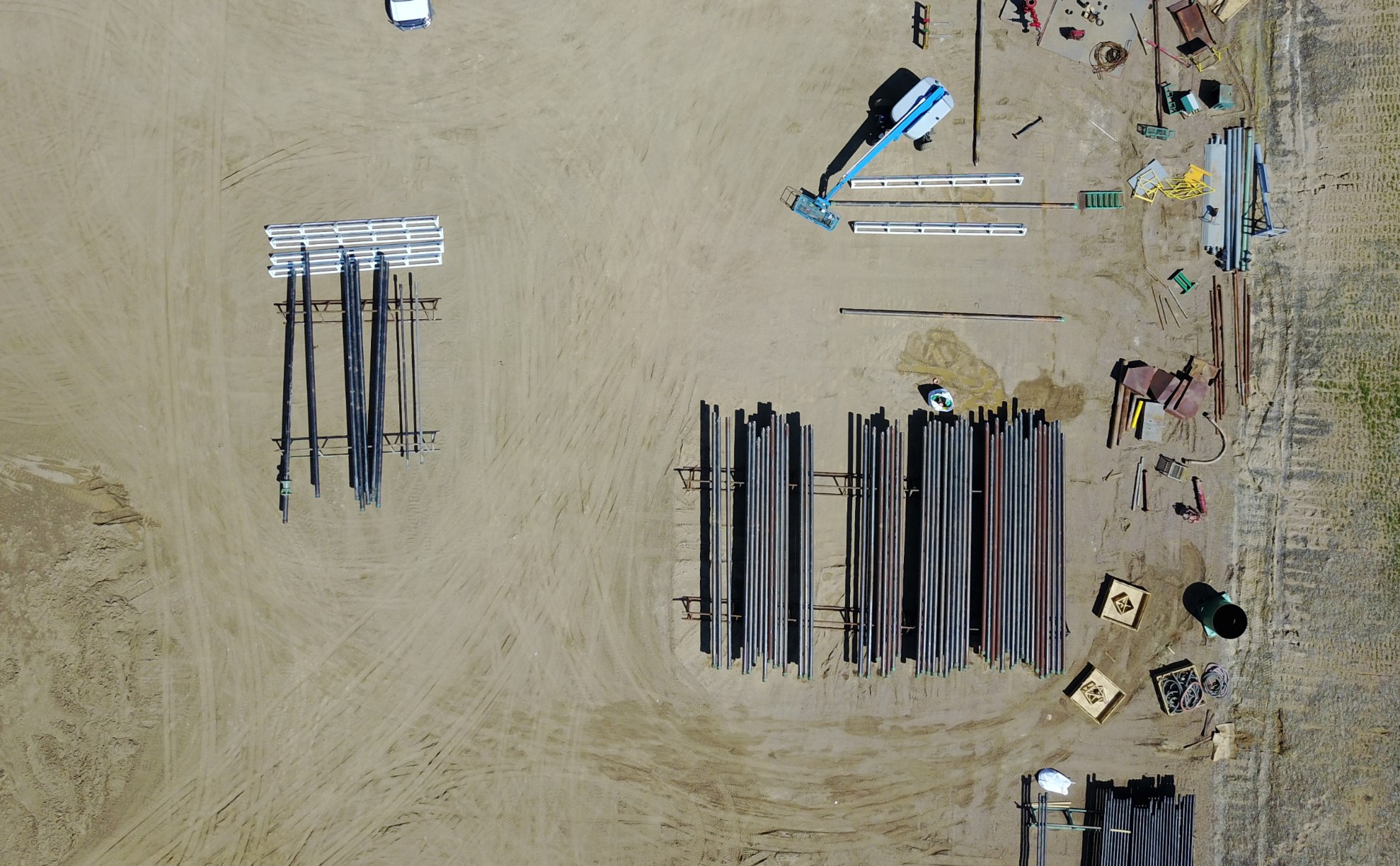
Construction
Monitoring, Planning, Models, Topos
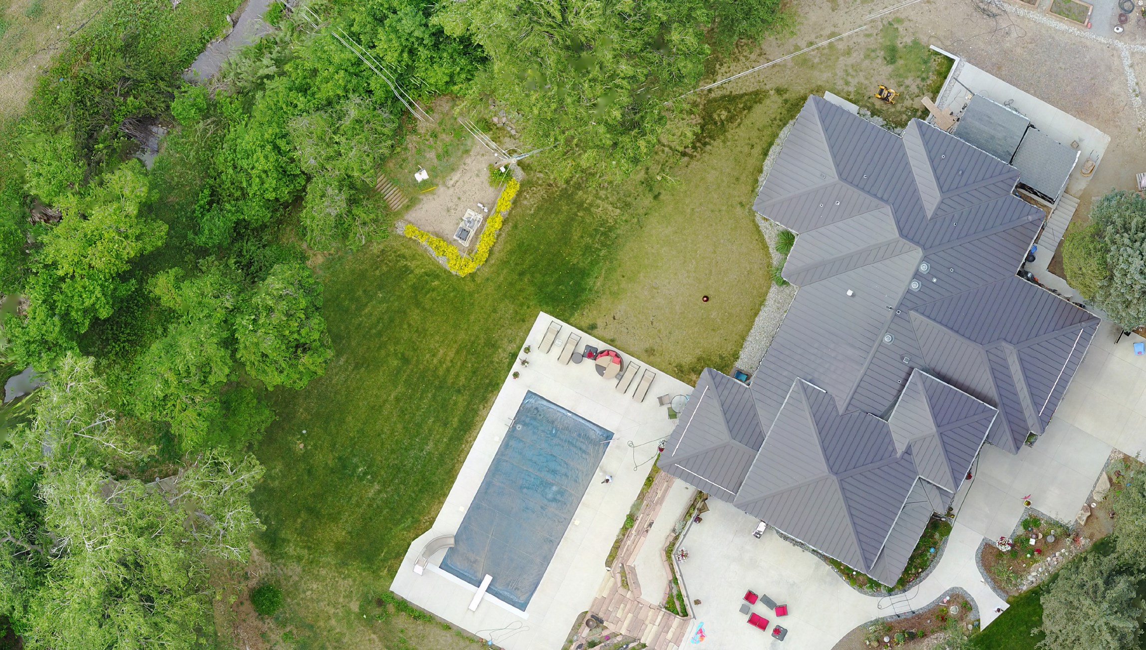
Real Estate and Residential
Land Maps, Landscaping and Exterior Design, Inspections
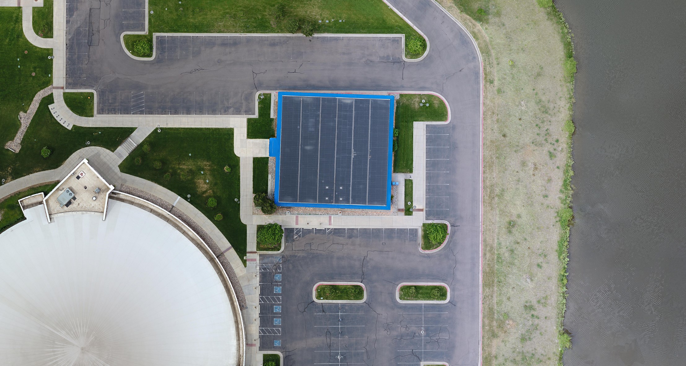
Property Management
Insurance, Roofing, Asset Evaluation
Survey
Solar, Environmental Assessment, Asset Allocation
Get a map within 48 hours
Talk with our team and schedule your first flight. We'll provide you with a precise map and access to our 24/7 customer support.
get a map