Order accurate, high resolution drone maps, 3D models, and more with FlatDroneMaps.
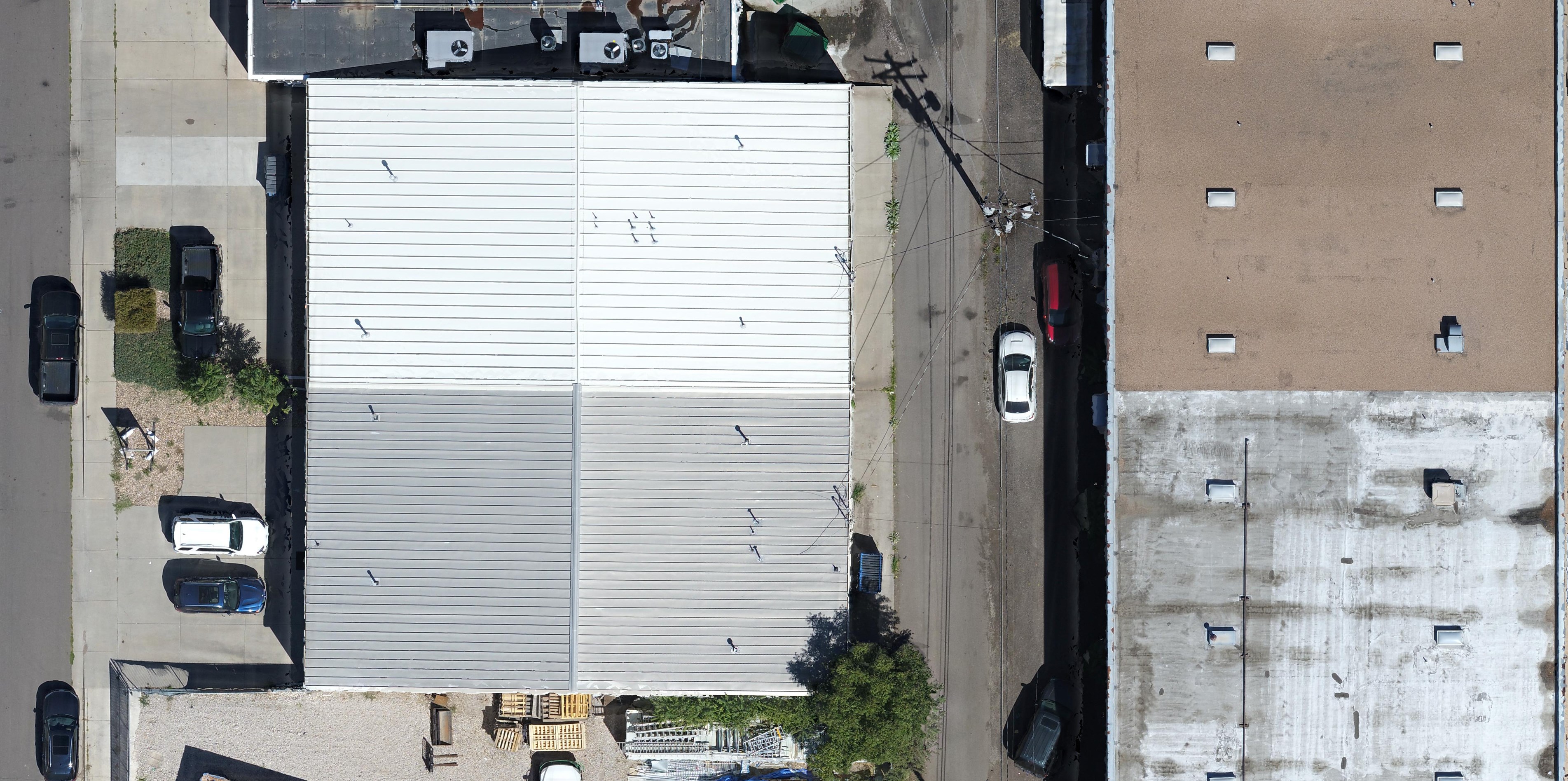
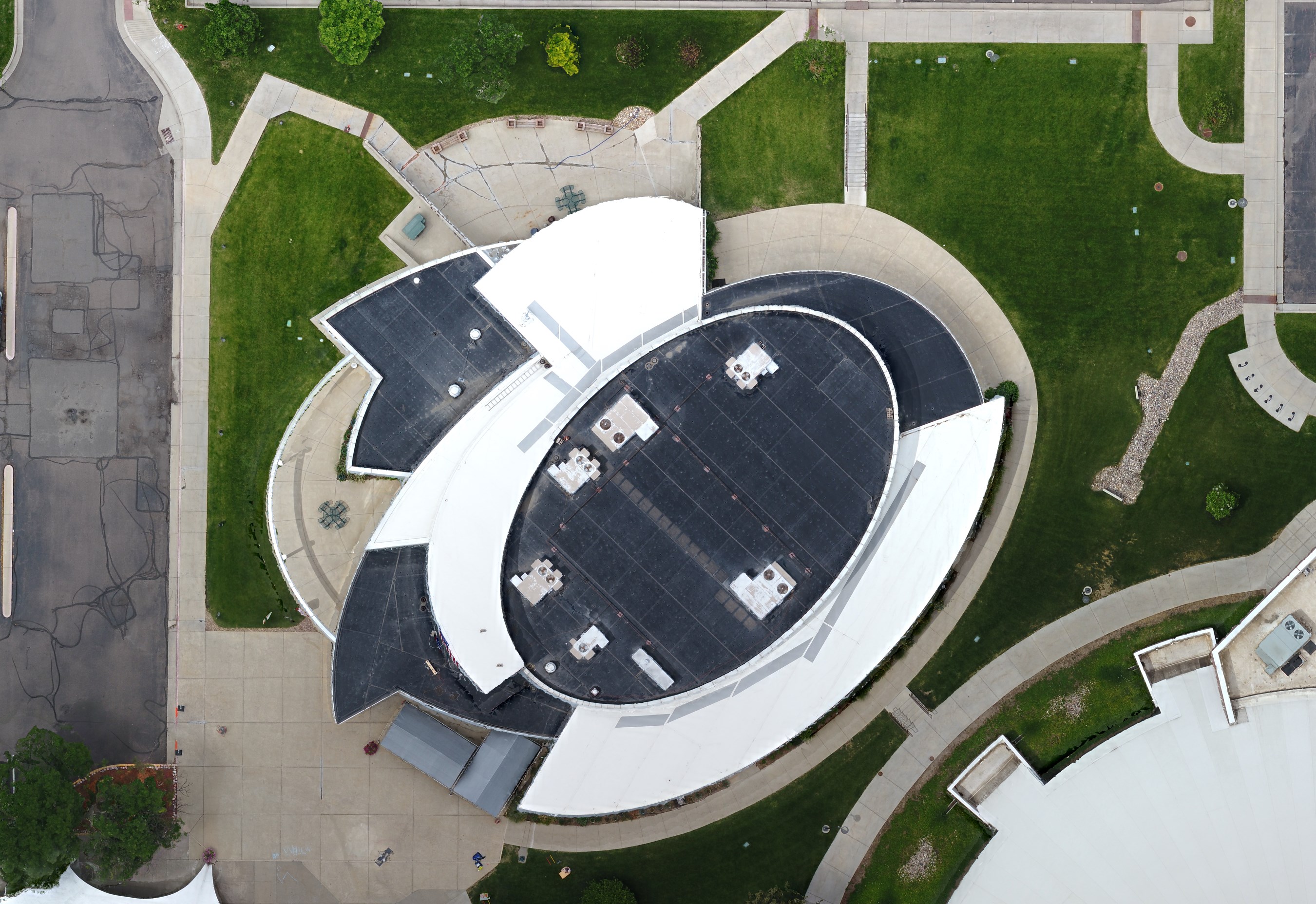
For property managers, we assist by creating valuable records for working with contractors and insurance companies. Maintain up to date maps of your properties and stay protected in the case of damage. Evaluate assets, assess aging facilities and infrastructure, and create valuable resources for site reviews.
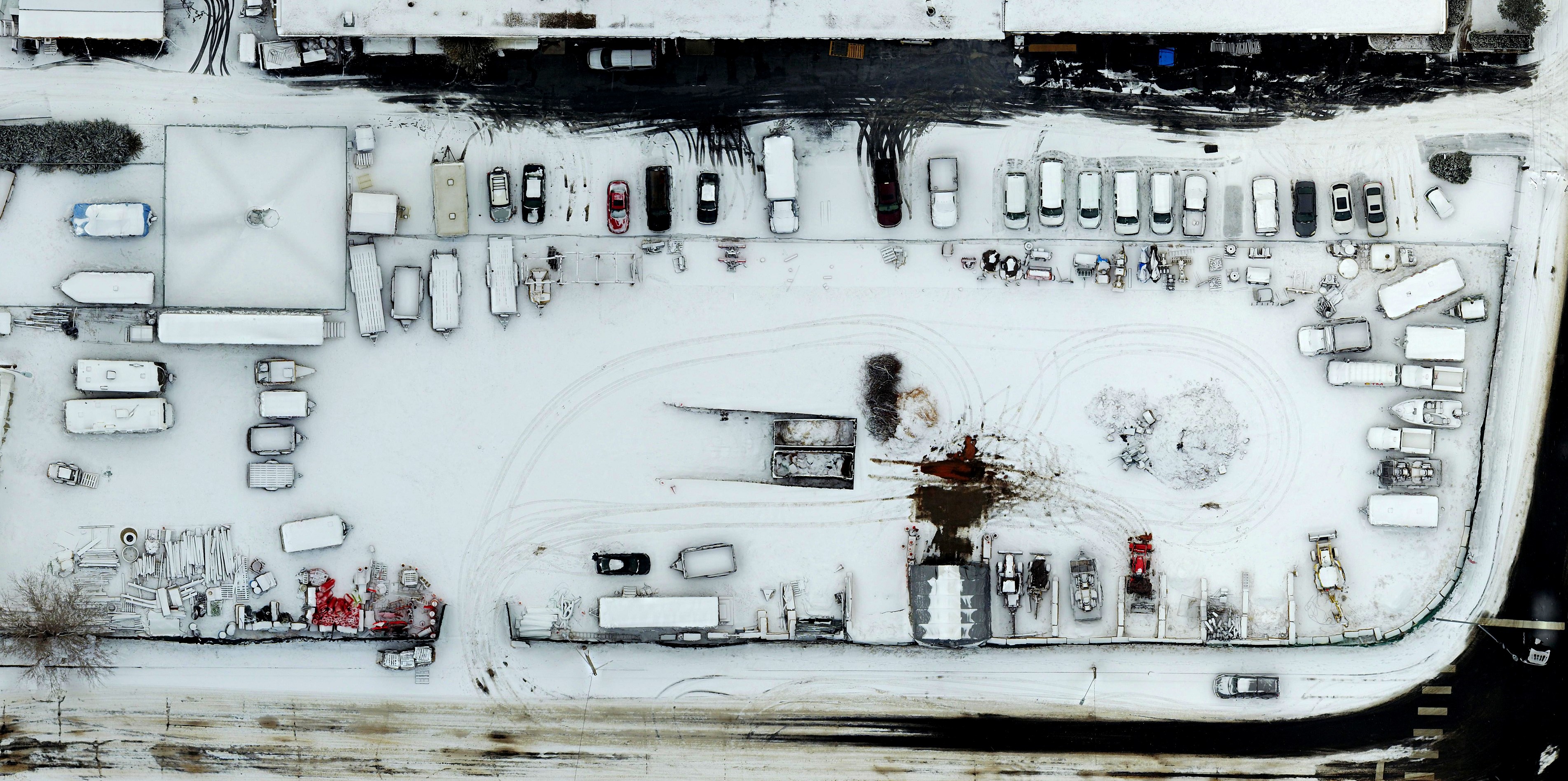
Working with contractors has never been easier. With FlatDroneMaps, easily create snow removal, pedestrian, irrigation, and site reference maps. Calculate square footage, identify trees, measure distances, and inspect infrastructure. Evaluate residential or commercial properties with detailed maps and 3D models.