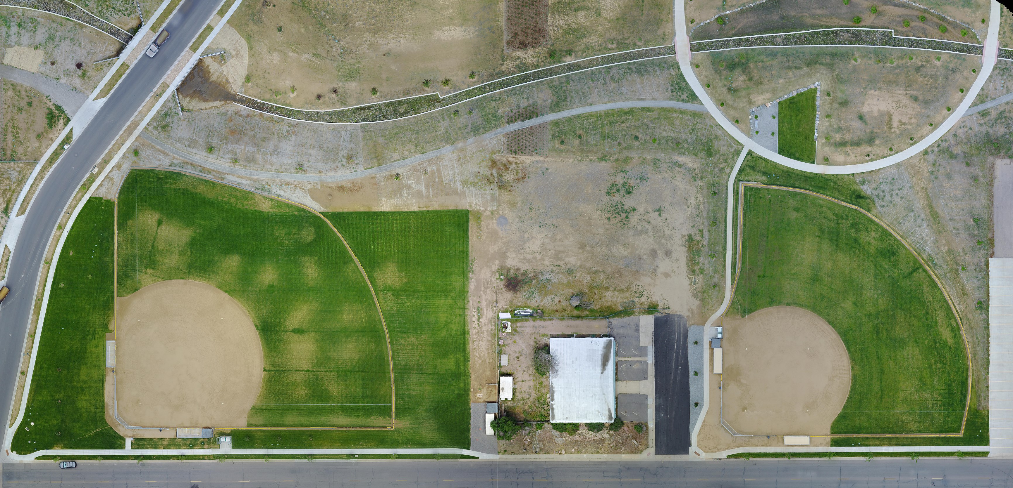
Order accurate, high resolution drone maps, 3D models, and more with FlatDroneMaps.
From asset allocation measurement to golf course management, aerial imagery is optimized for providing insights on vast areas of land. Overhead maps and 3D models can be used for a wide variety of tasks, ranging from environmental survey to pre- and post-disaster insights. Rely on us to survey, inspect, and assess assets.
Leverage our experienced team to deliver a tailored solution for your mapping needs.